


 created it in 194 BC.)
This map is the first known map that Sri Lanka geographically appears on a map. Eratosthenes (276 to 196 BC) created it in 194 BC and later adopted by Ptolemy in 139 AD. This map is famous as the Eratosthenes’ map of the (for the Greeks) known world.
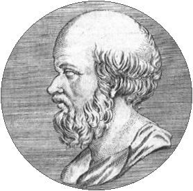
The Eratosthenes of Cyrene is best known for being the first person to calculate the circumference of the Earth.
Here is Sri Lanka (Taprobane) in the Eratosthenes’ map of the (for the Greeks) known world, c. 194 BC.
In the 19th century by Sir Edward Herbert Bunbury, 9th Bt reproduced this map.
First Map of Sri Lanka

Source: https://commons.wikimedia.org/wiki/File:Mappa_di_Eratostene.jpg